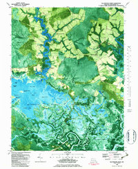
1982 Map of Blackwater River
USGS Topo · Published 1983About this map
The tidal marshes and labyrinthine waterways of Dorchester County define this 1982 orthophotomap, where the Little Blackwater River and Transquaking River dominate the low-lying landscape. The area is characterized by vast wetlands like Kentuck Swamp and Dragon Swamp, interspersed with numerous named ponds such as Hog Rooting Pond and Backgarden Pond. Human settlement is sparse and concentrated along historical landings and crossroads, including Shorters Wharf, Robbins Landing, and the small community at Bucktown. Local history is preserved in landmarks like Scotts Chapel, Bazzel Ch, and the Insley Cem. The map provides an intricate look at the Blackwater National Wildlife Refuge and the Fishing Bay Wildlife Management Area, showing the complex network of guts and ditches, such as Keenes Ditch and Snarepole Gut, that drain the interior marshes.
Find a feature on this map
74 named features on this map. Tap any name to fly to it.
Don’t see what you’re looking for? This feature index may not catch every label — zoom into the map to look around manually.
Map Details
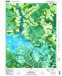
Editions of this 1982 Blackwater River Map
2 editions found
Other maps of this area

1898 · Choptank
USGS Topo · 1:125,000

1898 · St. Marys
USGS Topo · 1:125,000

1903 · Nanticoke
USGS Topo · 1:62,500

1904 · Oxford
USGS Topo · 1:62,500

1905 · Crapo
USGS Topo · 1:62,500

1905 · Hurlock
USGS Topo · 1:62,500

1906 · St. Marys
USGS Topo · 1:125,000

1908 · Choptank
USGS Topo · 1:125,000

1942 · Church Creek
USGS Topo · 1:24,000
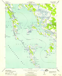
1942 · Honga
USGS Topo · 1:24,000