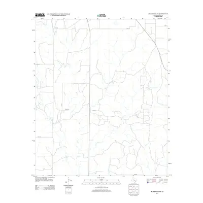
2012 Map of Blackwell NE
USGS Topo · Published 2012About this map
Decker Cem stands as a focal point for family history in this corner of Nolan County, marking a quiet legacy of early settlement in a landscape defined by its branching drainage networks. The terrain is deeply etched by numerous seasonal watercourses, including Bear Cr, Oak Cr, and Pecan Cr, which dictate the placement of ranch roads and dwellings. Further south, the landscape is shaped by Cottonwood Cr and N Br Oak Cr. This 2012 survey illustrates the modern rural infrastructure, where a grid of county roads like Co RD-180 and Co RD-194 provides access to remote acreage between the many winding tributaries such as Robertson Cr and Salt Cr. It is a portrait of West Texas ranching country, where water and land ownership have long been the primary drivers of human geography.
Find a feature on this map
21 named features on this map. Tap any name to fly to it.
Don’t see what you’re looking for? This feature index may not catch every label — zoom into the map to look around manually.
Map Details
Editions of this 2012 Blackwell NE Map
This is the sole edition of this map. No revisions or reprints were ever made.
Other maps of this area

1893 · Sweetwater
USGS Topo · 1:125,000

1954 · Big Spring
USGS Topo · 1:250,000

1957 · Merkel
USGS Topo · 1:62,500

1958 · Big Spring
USGS Topo · 1:250,000

1967 · Hylton
USGS Topo · 1:24,000
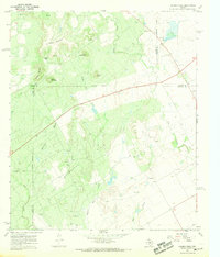
1967 · Church Peak
USGS Topo · 1:24,000

1969 · Blackwell NE
USGS Topo · 1:24,000

1969 · Maryneal
USGS Topo · 1:24,000
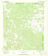
1969 · Blackwell SW
USGS Topo · 1:24,000
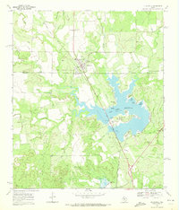
1969 · Blackwell
USGS Topo · 1:24,000