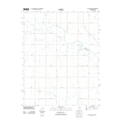
2012 Map of Blackwell NW
USGS Topo · Published 2012About this map
The agrarian landscape of the Kansas-Oklahoma border comes into focus, defined by the winding course of Bluff Cr as it meanders across the northern section of the map. Central to the local topography is Lake Blackwell, a significant reservoir held by the Lake Blackwell Dam, which serves as a primary water feature for the surrounding rural tracts. The region’s economic and historical layers are visible through the presence of the Webb North Oil Field in the southwest and the Triumph Cem further east, reflecting the typical development patterns of early 21st-century rural communities. A network of section-line roads, including W Indian Rd and W Home Rd, provides a grid for the various creeks like Sand Cr and Shoo Fly Cr to traverse.
Find a feature on this map
35 named features on this map. Tap any name to fly to it.
Don’t see what you’re looking for? This feature index may not catch every label — zoom into the map to look around manually.
Map Details
Editions of this 2012 Blackwell NW Map
This is the sole edition of this map. No revisions or reprints were ever made.
Other maps of this area

1889 · Caldwell
USGS Topo · 1:125,000

1890 · Wellington
USGS Topo · 1:125,000

1893 · Caldwell
USGS Topo · 1:125,000

1897 · Caldwell
USGS Topo · 1:125,000

1955 · Wichita
USGS Topo · 1:250,000

1955 · Enid
USGS Topo · 1:250,000

1958 · Enid
USGS Topo · 1:250,000

1958 · Wichita
USGS Topo · 1:250,000

1965 · Portland
USGS Topo · 1:24,000

1965 · South Haven
USGS Topo · 1:24,000