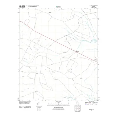
2011 Map of Bladen
USGS Topo · Published 2011About this map
The Little Satilla River and its intricate network of tributaries define this coastal Georgia landscape, where tidal waterways like the Turtle River and College Creek snake through the marshy lowlands. This environment has long shaped local settlement patterns, seen here in small clusters like Bladen, Georgetown, and Brookman that follow the higher ground between the swamps. The map captures a transition from the dense, naming-rich road networks of the interior, such as Tram Rd and Firetower Rd, to the more sparse riverfront near Yankee Landing. Genealogists may find value in the specific locations of the Wright Cemetery near the eastern boundary and the Higginbotham Cemetery situated near Buck Swamp, providing a clear record of local family history in the early 21st century.
Find a feature on this map
60 named features on this map. Tap any name to fly to it.
Don’t see what you’re looking for? This feature index may not catch every label — zoom into the map to look around manually.
Map Details
Editions of this 2011 Bladen Map
This is the sole edition of this map. No revisions or reprints were ever made.
Other maps of this area

1917 · Nahunta
USGS Topo · 1:62,500

1918 · Hortense
USGS Topo · 1:62,500

1918 · Everett City
USGS Topo · 1:62,500

1918 · Nahunta
USGS Topo · 1:62,500

1918 · Bladen
USGS Topo · 1:62,500

1920 · Everett City
USGS Topo · 1:62,500

1939 · Bladen
USGS Topo · 1:62,500

1944 · Everett City
USGS Topo · 1:62,500

1944 · Hortense
USGS Topo · 1:62,500

1946 · Brunswick
USGS Topo · 1:250,000