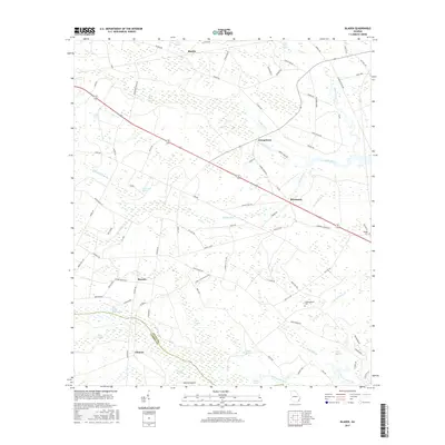
2017 Map of Bladen
USGS Topo · Published 2017About this map
Turtle River and its surrounding wetlands define the low-lying landscape where Glynn Co meets Camden Co. This 2017 study illustrates the rural transition between the upper reaches of the Little Satilla River and the coastal marshes. Scattered settlements like Bladen, Georgetown, and Brookman anchor a network of local roads, many of which retain names hinting at the area's land-use history, such as Tram Rd and Laurel Grove Plantation. The map is particularly useful for local historians seeking family landmarks, including the Higgimbotham Cem and Wright Cem, which are situated near established communities. The intricate system of named swamps, from Turkey Swamp to Pyles Swamp, reveals the complex drainage patterns that have long influenced settlement and agriculture in this corner of the Georgia coastal plain.
Find a feature on this map
92 named features on this map. Tap any name to fly to it.
Don’t see what you’re looking for? This feature index may not catch every label — zoom into the map to look around manually.
Map Details
Editions of this 2017 Bladen Map
This is the sole edition of this map. No revisions or reprints were ever made.
Other maps of this area

1917 · Nahunta
USGS Topo · 1:62,500

1918 · Hortense
USGS Topo · 1:62,500

1918 · Everett City
USGS Topo · 1:62,500

1918 · Nahunta
USGS Topo · 1:62,500

1918 · Bladen
USGS Topo · 1:62,500

1920 · Everett City
USGS Topo · 1:62,500

1939 · Bladen
USGS Topo · 1:62,500

1944 · Everett City
USGS Topo · 1:62,500

1944 · Hortense
USGS Topo · 1:62,500

1946 · Brunswick
USGS Topo · 1:250,000