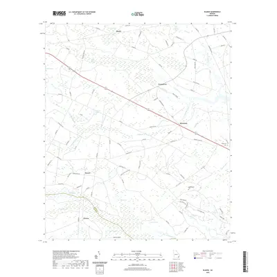
2020 Map of Bladen
USGS Topo · Published 2020About this map
Turtle River and the Little Satilla River define the low-lying coastal landscape of this region, where the border of Glynn County and Camden County meets. The terrain is a complex network of wetlands and tidal drainages, including White Oak Swamp, Pyles Swamp, and Buck Swamp, which have historically dictated the placement of roads and settlements. Small communities like Bladen, Georgetown, and Brookman are positioned along higher ground, connected by long causeways such as Massie Cswy. The map documents local lineage through the presence of Wright Cem and Higginbotham Cem, as well as the footprint of Laurel Grove Plantation. Evidence of the area's agricultural and transit history remains visible in the alignment of the Old CCC Rd and the proximity of the rail-adjacent settlement at Hayner.
Find a feature on this map
90 named features on this map. Tap any name to fly to it.
Don’t see what you’re looking for? This feature index may not catch every label — zoom into the map to look around manually.
Map Details
Editions of this 2020 Bladen Map
This is the sole edition of this map. No revisions or reprints were ever made.
Other maps of this area

1917 · Nahunta
USGS Topo · 1:62,500

1918 · Hortense
USGS Topo · 1:62,500

1918 · Everett City
USGS Topo · 1:62,500

1918 · Nahunta
USGS Topo · 1:62,500

1918 · Bladen
USGS Topo · 1:62,500

1920 · Everett City
USGS Topo · 1:62,500

1939 · Bladen
USGS Topo · 1:62,500

1944 · Everett City
USGS Topo · 1:62,500

1944 · Hortense
USGS Topo · 1:62,500

1946 · Brunswick
USGS Topo · 1:250,000