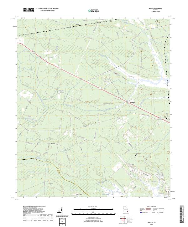
2024 Map of Bladen
USGS Topo · Published 2024About this map
The lowlands of Glynn and Camden counties are defined by an intricate network of waterways and wetlands, anchored by the Little Satilla River and Turtle River. Small communities like Bladen, Brookman, and Hayner are scattered across this landscape, often positioned near the transition from solid ground to expansive marshes. The presence of Wright Cem and Higginbotham Cem provides localized points of interest for genealogists tracing families in this coastal Georgia region.
Find a feature on this map
94 named features on this map. Tap any name to fly to it.
Don’t see what you’re looking for? This feature index may not catch every label — zoom into the map to look around manually.
Map Details
Editions of this 2024 Bladen Map
This is the sole edition of this map. No revisions or reprints were ever made.
Other maps of this area

1917 · Nahunta
USGS Topo · 1:62,500

1918 · Hortense
USGS Topo · 1:62,500

1918 · Everett City
USGS Topo · 1:62,500

1918 · Nahunta
USGS Topo · 1:62,500

1918 · Bladen
USGS Topo · 1:62,500

1920 · Everett City
USGS Topo · 1:62,500

1939 · Bladen
USGS Topo · 1:62,500

1944 · Everett City
USGS Topo · 1:62,500

1944 · Hortense
USGS Topo · 1:62,500

1946 · Brunswick
USGS Topo · 1:250,000