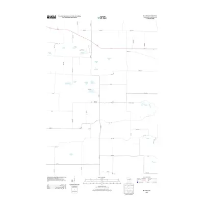
2013 Map of Blaine
USGS Topo · Published 2013About this map
The settlement of Blaine serves as the central hub of this Portage County landscape, where a dense network of country roads connects a glaciated terrain defined by numerous small kettles and basins. Water is the defining characteristic here, with dozens of named bodies such as Silver Lake, Huntleys Lake, and Boelter Lake scattered across the township. The presence of Pickerel Lake and Pleasant Lake near the center of the sheet highlights the concentration of water features that likely influenced the early agricultural and recreational development of the area.
Find a feature on this map
52 named features on this map. Tap any name to fly to it.
Don’t see what you’re looking for? This feature index may not catch every label — zoom into the map to look around manually.
Map Details
Editions of this 2013 Blaine Map
This is the sole edition of this map. No revisions or reprints were ever made.
Other maps of this area

1955 · Green Bay
USGS Topo · 1:250,000

1957 · Amherst
USGS Topo · 1:48,000

1957 · Waupaca
USGS Topo · 1:48,000

1959 · Wautoma
USGS Topo · 1:48,000

1961 · Redgranite
USGS Topo · 1:62,500

1961 · Wild Rose
USGS Topo · 1:24,000

1968 · Plainfield
USGS Topo · 1:24,000
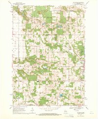
1968 · Wautoma NE
USGS Topo · 1:24,000
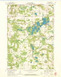
1969 · King
USGS Topo · 1:24,000
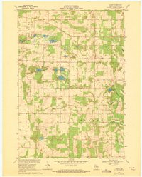
1969 · Blaine
USGS Topo · 1:24,000