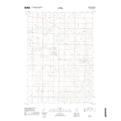
2018 Map of Blaine
USGS Topo · Published 2018About this map
Blaine stands as the central settlement in this portion of Portage County, situated amidst a dense concentration of glacial kettles and lakes. The landscape is defined by its numerous water bodies, ranging from Riley Lake and Boelter Lake in the north to East Lake in the south. The distribution of Buena Vista Cem, Hillside Cem, and Elmwood Cem suggests the historical centers of community and worship across this rural Wisconsin terrain. A network of county roads, including Co RD A and Co RD D, connects these points of interest, while natural drainage is managed through small waterways like Emmons Cr and Pearl Cr. This survey illustrates a post-glacial topography where small-scale farming and lakefront geography dictate the placement of roads and homesteads.
Find a feature on this map
61 named features on this map. Tap any name to fly to it.
Don’t see what you’re looking for? This feature index may not catch every label — zoom into the map to look around manually.
Map Details
Editions of this 2018 Blaine Map
This is the sole edition of this map. No revisions or reprints were ever made.
Other maps of this area

1955 · Green Bay
USGS Topo · 1:250,000

1957 · Amherst
USGS Topo · 1:48,000

1957 · Waupaca
USGS Topo · 1:48,000

1959 · Wautoma
USGS Topo · 1:48,000

1961 · Redgranite
USGS Topo · 1:62,500

1961 · Wild Rose
USGS Topo · 1:24,000

1968 · Plainfield
USGS Topo · 1:24,000
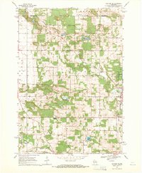
1968 · Wautoma NE
USGS Topo · 1:24,000
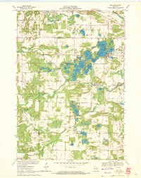
1969 · King
USGS Topo · 1:24,000
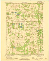
1969 · Blaine
USGS Topo · 1:24,000