2022 Map of Blair
USGS Topo · Published 2022About this map
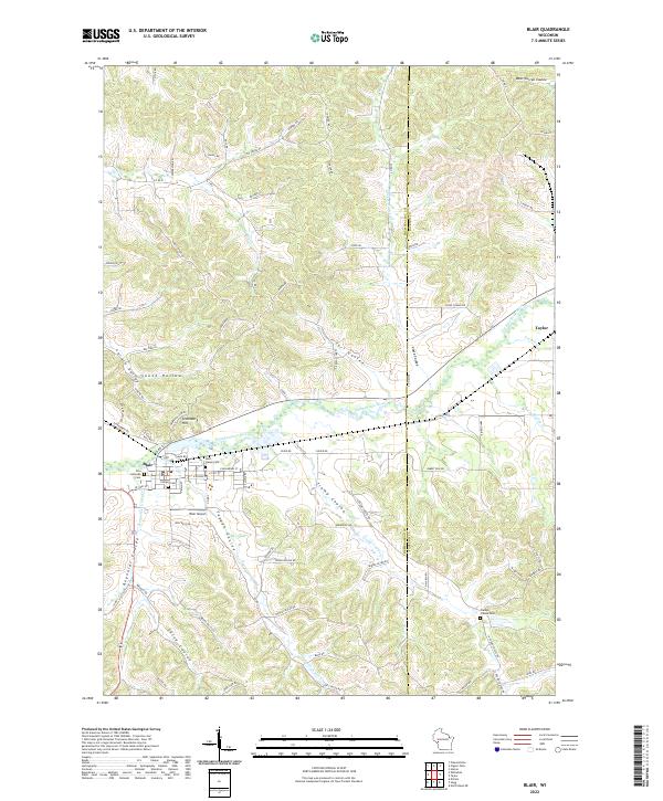
The Trempealeau River flows through the heart of this landscape, carving a wide valley that serves as the primary corridor for the city of Blair. This 2022 survey illustrates a topography defined by complex coulees and ridges, where narrow valleys like Trump Coulee and Salva Coulee radiate away from the river plains. The settlement of Blair is densely detailed, showing the street grid including E Broadway St and S Main St, while the smaller community of Taylor sits on the eastern edge of the quadrangle. Local history and genealogy are well-represented by several burial grounds, including the Zion Lutheran Cem, Corness Cem, and Rest Haven Cem. The surrounding uplands are marked by distinctive landmarks like Gransberg Hill and a network of rural roads such as Fly Creek Rd and Shelli Ridge RD, which trace the high ground between the various creek drainages.
Find a feature on this map
92 named features on this map. Tap any name to fly to it.
Don’t see what you’re looking for? This feature index may not catch every label — zoom into the map to look around manually.
Map Details
Editions of this 2022 Blair Map
This is the sole edition of this map. No revisions or reprints were ever made.
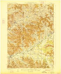
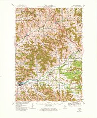
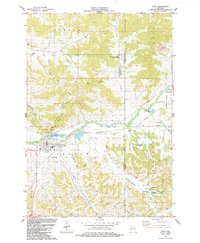
Historical Maps of Jackson County Through Time
4 maps found