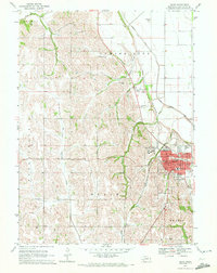
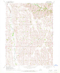
1970 Map of Blair
USGS Topo · Published 1972About this map
The Missouri River bluffs and Loess Hills of eastern Nebraska define the topography of Blair, where the city serves as a regional hub in Washington County. The landscape is shaped by the Chicago and North Western railroad corridor and a complex drainage system including Big Papillion Creek and the Cameron Ditch. In this 1970 snapshot, the educational fabric of the community is prominent, anchored by the hilltop campus of Dana College and a network of neighborhood facilities like North Sch, West Sch, and Central Sch.
Find a feature on this map
39 named features on this map. Tap any name to fly to it.
Don’t see what you’re looking for? This feature index may not catch every label — zoom into the map to look around manually.
Map Details
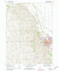
Editions of this 1970 Blair Map
2 editions found
Other maps of this area

1893 · Fremont
USGS Topo · 1:125,000

1896 · Fremont
USGS Topo · 1:125,000

1955 · Fremont
USGS Topo · 1:250,000

1957 · Fremont
USGS Topo · 1:250,000

1958 · Fremont
USGS Topo · 1:250,000

1968 · Kennard
USGS Topo · 1:24,000
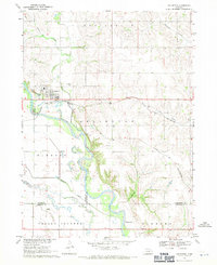
1968 · Arlington
USGS Topo · 1:24,000
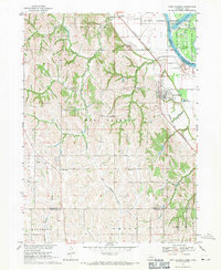
1968 · Fort Calhoun
USGS Topo · 1:24,000
1969 · Orum
USGS Topo · 1:24,000

1970 · Herman
USGS Topo · 1:24,000