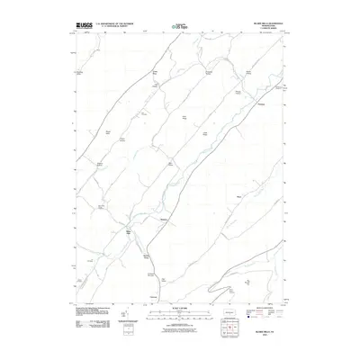
2010 Map of Blairs Mills
USGS Topo · Published 2010About this map
Tuscarora Creek flows through this valley landscape, anchoring a series of small settlements and family landmarks in Juniata County. The area is defined by its deep ridges and narrow hollows, including Shade Valley, Blair Hollow, and Blacklog Valley. Genealogists will find several burial sites preserved on this sheet, ranging from the Polk Cemetery in the north to the Elf Cemetery and Jeffries Cemetery further south.
Find a feature on this map
53 named features on this map. Tap any name to fly to it.
Don’t see what you’re looking for? This feature index may not catch every label — zoom into the map to look around manually.
Map Details
Editions of this 2010 Blairs Mills Map
This is the sole edition of this map. No revisions or reprints were ever made.
Other maps of this area

1919 · Mattawana
USGS Topo · 1:62,500

1922 · Mt Union
USGS Topo · 1:48,000

1923 · Shippensburg
USGS Topo · 1:62,500

1924 · Mt. Union
USGS Topo · 1:62,500

1936 · East Waterford
USGS Topo · 1:48,000

1939 · Orbisonia
USGS Topo · 1:62,500

1940 · Orbisonia
USGS Topo · 1:62,500

1941 · East Waterford
USGS Topo · 1:62,500

1943 · Shippensburg
USGS Topo · 1:62,500

1944 · Orbisonia
USGS Topo · 1:62,500
Featured Places
- Perulack, Lack Township
- Blairs Mills, Tell Township
- Seyoc, Toboyne Township
- Cross Keys, Lack Township
- Lack Township, PA