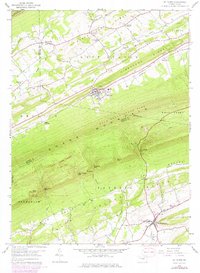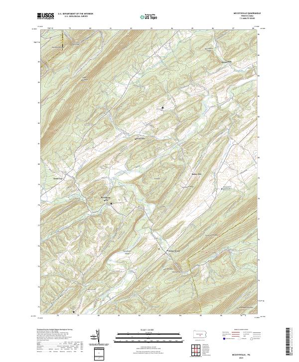
2023 Map of Blairs Mills
USGS Topo · Published 2023About this map
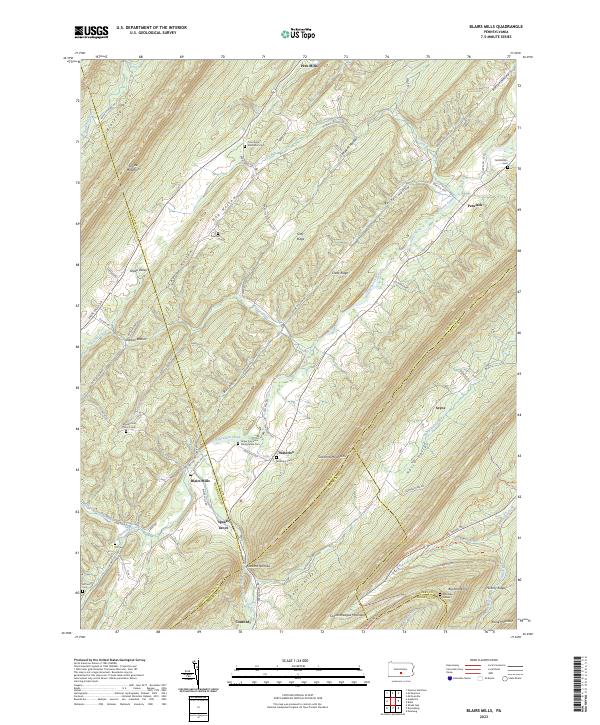
Tuscarora Mountain and Shade Mountain define the parallel ridgelines of this Pennsylvania landscape, where several mountain gaps facilitate local travel between isolated valleys. The small settlement of Blairs Mills serves as a central hub for the surrounding rural territory, which is characterized by numerous family-named hollows and cemeteries that offer significant value for genealogical research. Notable burial sites including Upper Tuscarora Presbyterian Cem, Cross Keys Methodist Cem, and the more secluded McCaskey Graves provide a spatial record of the area's early families.
Find a feature on this map
94 named features on this map. Tap any name to fly to it.
Don’t see what you’re looking for? This feature index may not catch every label — zoom into the map to look around manually.
Map Details
Editions of this 2023 Blairs Mills Map
This is the sole edition of this map. No revisions or reprints were ever made.
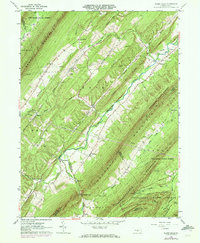
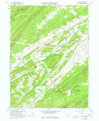
Historical Maps of Seyoc Through Time
5 maps found