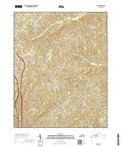
2019 Map of Blairs
USGS Topo · Published 2019About this map
Blairs and the northern outskirts of Danville anchor the western edge of this Pittsylvania County landscape, where the transition from suburban expansion to rural farmland is marked by a complex network of secondary roads and local creeks. The drainage patterns of the Piedmont are clearly visible as Sandy Cr and Birch Cr carve through the terrain, separated by prominent landforms such as Gentlemans Ridge Rd. Smaller communities like Keeling and Kentuck remain concentrated around key intersections, particularly along the path of Old Richmond Rd. For those examining the modern landscape of south-central Virginia, the map documents the proximity of recreational sites like Owens Fishing Lakes and Koa-Camp Lake to the growing transportation corridors and residential clusters of Beaver Park.
Find a feature on this map
90 named features on this map. Tap any name to fly to it.
Don’t see what you’re looking for? This feature index may not catch every label — zoom into the map to look around manually.
Map Details
Editions of this 2019 Blairs Map
This is the sole edition of this map. No revisions or reprints were ever made.
Other maps of this area

1921 · Chatham
USGS Topo · 1:48,000

1923 · Danville
USGS Topo · 1:48,000

1923 · Chatham
USGS Topo · 1:62,500

1925 · Danville
USGS Topo · 1:62,500

1952 · Milton
USGS Topo · 1:62,500

1953 · Greensboro
USGS Topo · 1:250,000

1954 · Greensboro
USGS Topo · 1:250,000

1954 · Riceville
USGS Topo · 1:62,500

1956 · Milton
USGS Topo · 1:62,500

1962 · Greensboro
USGS Topo · 1:250,000