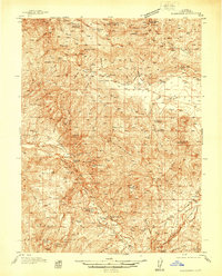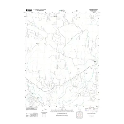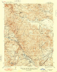
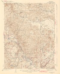
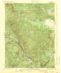
1943 Map of Blairsden
USGS Topo · Published 1948About this map
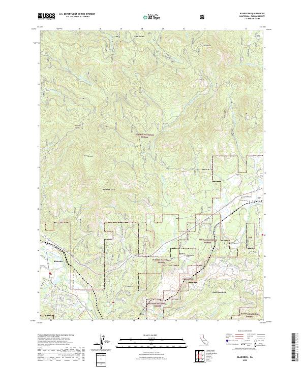
The Middle Fork Feather River carves a deep path through this portion of the Plumas National Forest, serving as the primary corridor for the Western Pacific Railroad and regional transport during the late 1930s. Industrial activity is concentrated at the northern and southern extremes of the sheet, anchored by the Walker Cons Mine near Walkermine and the Plumas Eureka Mine above Johnsville. These mining hubs, along with the Walker Mine Compressor, reveal the intense geological extraction that defined the local economy before the mid-century.
Find a feature on this map
63 named features on this map. Tap any name to fly to it.
Don’t see what you’re looking for? This feature index may not catch every label — zoom into the map to look around manually.
Map Details
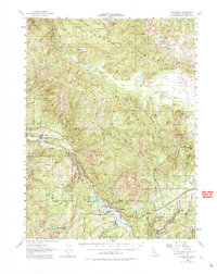
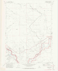
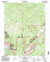
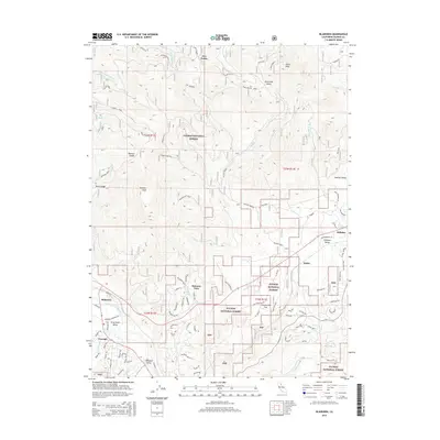
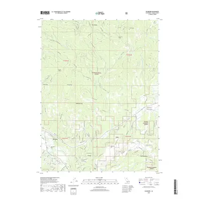
Editions of this 1943 Blairsden Map
3 editions found
Historical Maps of Two Rivers Through Time
9 maps found