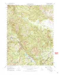
1956 Map of Blairsden
USGS Topo · Published 1980About this map
The Middle Fork Feather River carves a deep path through the heart of Plumas County, defining a landscape where industrial extraction and early mountain recreation meet. This mid-century view shows the Western Pacific Railroad tracing the canyon walls, connecting high-altitude timber and mining operations like the Walker Mine and the Thomas Eureka Mine (Site) to the world beyond. The region's transition from a hard-rock mining frontier to a destination for summer visitors is visible in the presence of the Feather River Inn, Feather River Park, and the Mohawk Boys Camp.
Find a feature on this map
53 named features on this map. Tap any name to fly to it.
Don’t see what you’re looking for? This feature index may not catch every label — zoom into the map to look around manually.
Map Details
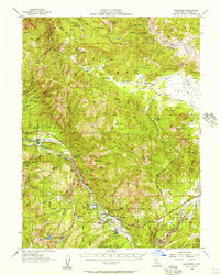
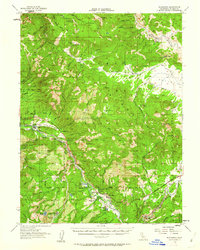
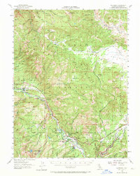
Editions of this 1956 Blairsden Map
4 editions found
Other maps of this area

1886 · Honey Lake
USGS Topo · 1:250,000

1890 · Sierraville
USGS Topo · 1:125,000

1891 · Downieville
USGS Topo · 1:125,000

1891 · Honey Lake
USGS Topo · 1:250,000

1892 · Sierraville
USGS Topo · 1:125,000

1893 · Honey Lake
USGS Topo · 1:250,000

1893 · Downieville
USGS Topo · 1:125,000

1894 · Sierraville
USGS Topo · 1:125,000

1895 · Downieville
USGS Topo · 1:125,000

1896 · Downieville
USGS Topo · 1:125,000