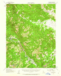
1956 Map of Blairsden
USGS Topo · Published 1962About this map
Johnsville and the surrounding high country of the Plumas National Forest define this mid-century portrait of Sierra Nevada mining and timber lands. The map documents a landscape in transition, where industrial history is marked by the Plumas Eureka Mine (Site) and the Walker Mine (Site), alongside its associated compressor and townsite at Walkermine. These remnants of the region's extraction era are balanced by the growing recreational and hospitality presence of the Feather River Inn and the developed community at Graeagle. The Western Pacific railroad follows the winding course of the Middle Fork Feather River, connecting the small settlements of Sloat, Cromberg, and Blairsden. The terrain is characterized by steep ridges like Eureka Ridge and prominent peaks including Mt Ingalls and Smith Peak, while the northern reaches open into the high grazing lands of Nye Meadows and Grizzly Valley.
Find a feature on this map
72 named features on this map. Tap any name to fly to it.
Don’t see what you’re looking for? This feature index may not catch every label — zoom into the map to look around manually.
Map Details
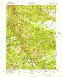
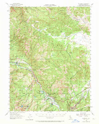
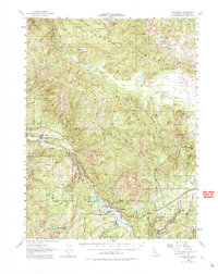
Editions of this 1956 Blairsden Map
4 editions found
Other maps of this area

1886 · Honey Lake
USGS Topo · 1:250,000

1890 · Sierraville
USGS Topo · 1:125,000

1891 · Downieville
USGS Topo · 1:125,000

1891 · Honey Lake
USGS Topo · 1:250,000

1892 · Sierraville
USGS Topo · 1:125,000

1893 · Honey Lake
USGS Topo · 1:250,000

1893 · Downieville
USGS Topo · 1:125,000

1894 · Sierraville
USGS Topo · 1:125,000

1895 · Downieville
USGS Topo · 1:125,000

1896 · Downieville
USGS Topo · 1:125,000