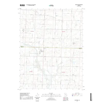
2017 Map of Blairstown
USGS Topo · Published 2017About this map
Blairstown serves as the central hub of this West-Central Missouri landscape, where the grid-like road system of Henry Co meets the winding path of Big Creek. The village layout is clearly defined by N Main St and 4th St, providing a detailed look at the community structure just south of the border with Johnson Co. The surrounding rural territory is marked by several small settlements including Denton to the north and Norris to the southeast, illustrating the distributed agricultural nature of the region.
Find a feature on this map
67 named features on this map. Tap any name to fly to it.
Don’t see what you’re looking for? This feature index may not catch every label — zoom into the map to look around manually.
Map Details
Editions of this 2017 Blairstown Map
This is the sole edition of this map. No revisions or reprints were ever made.
Other maps of this area

1885 · Warrensburg
USGS Topo · 1:125,000

1887 · Clinton
USGS Topo · 1:125,000

1887 · Harrisonville
USGS Topo · 1:125,000

1887 · Butler
USGS Topo · 1:125,000

1887 · Warrensburg
USGS Topo · 1:125,000

1892 · Harrisonville
USGS Topo · 1:125,000

1894 · Harrisonville
USGS Topo · 1:125,000

1894 · Butler
USGS Topo · 1:125,000

1894 · Warrensburg
USGS Topo · 1:125,000

1894 · Clinton
USGS Topo · 1:125,000