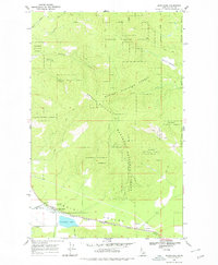
1968 Map of Blanchard
USGS Topo · Published 1978About this map
Blanchard sits at the western edge of Spirit Valley, serving as a primary settlement within this Bonner County landscape during the late 1960s. The town's connection to the broader region is defined by the Chicago Milwaukee St Paul and Pacific railroad, which tracks parallel to Spirit Creek and through the valley floor. Near the town center, Pine Grove Cemetery and Blanchard Lake provide local landmarks, while the settlement of Coleman lies further east along the rail line.
Find a feature on this map
24 named features on this map. Tap any name to fly to it.
Don’t see what you’re looking for? This feature index may not catch every label — zoom into the map to look around manually.
Map Details
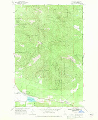
Editions of this 1968 Blanchard Map
2 editions found
Other maps of this area

1901 · Sandpoint
USGS Topo · 1:125,000

1901 · Spokane
USGS Topo · 1:125,000

1903 · Rathdrum
USGS Topo · 1:125,000

1911 · Priest Lake
USGS Topo · 1:250,000

1911 · Sandpoint
USGS Topo · 1:125,000

1913 · Priest Lake
USGS Topo · 1:250,000

1936 · Newport
USGS Topo · 1:96,000

1942 · Newport
USGS Topo · 1:125,000

1943 · Mt Spokane
USGS Topo · 1:62,500

1950 · Mt Spokane
USGS Topo · 1:62,500