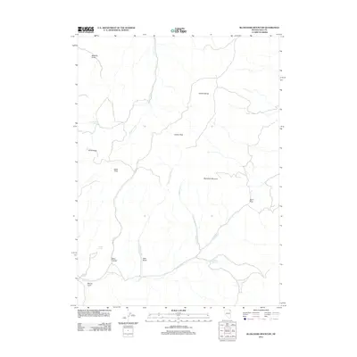
2012 Map of Blanchard Mountain
USGS Topo · Published 2012About this map
Granite Peak and the Granite Range dominate this high-desert landscape in northeast Nevada, where water sources define the geography of the high country. Named peaks including Blanchard Mountain, Hanks Peak, and the White Peaks rise above a complex network of drainages and seasonal water sources. The map reveals the critical importance of isolated water points such as China Mountain Spring, Willow Spring, and Noh Springs, which historically supported livestock and wildlife in this arid territory.
Find a feature on this map
19 named features on this map. Tap any name to fly to it.
Don’t see what you’re looking for? This feature index may not catch every label — zoom into the map to look around manually.
Map Details
Editions of this 2012 Blanchard Mountain Map
This is the sole edition of this map. No revisions or reprints were ever made.
Other maps of this area

1955 · Wells
USGS Topo · 1:250,000

1957 · Contact
USGS Topo · 1:62,500

1957 · Delaplain
USGS Topo · 1:62,500

1958 · Wells
USGS Topo · 1:250,000

1961 · Wells
USGS Topo · 1:250,000

1968 · Knoll Mountain
USGS Topo · 1:24,000

1968 · Knoll Mountain SE
USGS Topo · 1:24,000

1968 · Henry
USGS Topo · 1:24,000

1968 · Blanchard Mtn
USGS Topo · 1:24,000

1968 · Texas Spring
USGS Topo · 1:24,000