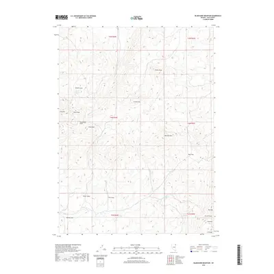
2018 Map of Blanchard Mountain
USGS Topo · Published 2018About this map
The Granite Range dominates this corner of Elko County, where high-altitude peaks and deep canyons define the landscape of northeast Nevada. The terrain is marked by significant elevations including Blanchard Mtn, Hanks Peak, and the White Peaks, which tower over a network of intermittent drainages. Water is a critical and concentrated resource in this arid environment, evidenced by the presence of China Mountain Spring, Willow Spring, and Knoll Creek Springs.
Find a feature on this map
29 named features on this map. Tap any name to fly to it.
Don’t see what you’re looking for? This feature index may not catch every label — zoom into the map to look around manually.
Map Details
Editions of this 2018 Blanchard Mountain Map
This is the sole edition of this map. No revisions or reprints were ever made.
Other maps of this area

1955 · Wells
USGS Topo · 1:250,000

1957 · Contact
USGS Topo · 1:62,500

1957 · Delaplain
USGS Topo · 1:62,500

1958 · Wells
USGS Topo · 1:250,000

1961 · Wells
USGS Topo · 1:250,000

1968 · Knoll Mountain
USGS Topo · 1:24,000

1968 · Knoll Mountain SE
USGS Topo · 1:24,000

1968 · Henry
USGS Topo · 1:24,000

1968 · Blanchard Mtn
USGS Topo · 1:24,000

1968 · Texas Spring
USGS Topo · 1:24,000