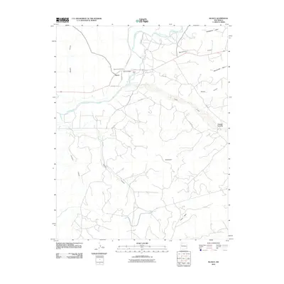
2010 Map of Blanco
USGS Topo · Published 2010About this map
The San Juan River flows through the northern half of this San Juan County landscape, anchoring the settlement of Blanco. Near the river's bend, the Blanco Post Office and Blanco Camp serve as local landmarks, while the Blanco-Turley Cemetery provides a primary point of interest for those researching the area's genealogical history. The terrain is defined by its dramatic drainage systems, including the broad Cañon Largo and several deep canyons such as Armenta Canyon, Muñoz Canyon, and Wrights Canyon.
Find a feature on this map
22 named features on this map. Tap any name to fly to it.
Don’t see what you’re looking for? This feature index may not catch every label — zoom into the map to look around manually.
Map Details
Editions of this 2010 Blanco Map
This is the sole edition of this map. No revisions or reprints were ever made.
Other maps of this area

1889 · Largo
USGS Topo · 1:250,000

1895 · Largo
USGS Topo · 1:250,000

1954 · Aztec
USGS Topo · 1:250,000

1958 · Aztec
USGS Topo · 1:250,000

1959 · Gould Pass
USGS Topo · 1:62,500

1959 · Aztec
USGS Topo · 1:62,500

1959 · Navajo Dam
USGS Topo · 1:62,500

1960 · Bloomfield
USGS Topo · 1:62,500

1962 · Aztec
USGS Topo · 1:250,000

1965 · Aztec
USGS Topo · 1:250,000