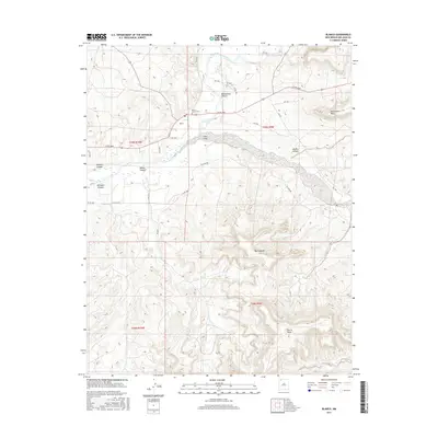
2017 Map of Blanco
USGS Topo · Published 2017About this map
The San Juan River flows through the northern reaches of this High Desert landscape, where the settlement of Blanco serves as a focal point near the junction of Cañon Largo. This 2017 survey details the complex network of mesas and canyons that define the San Juan Basin, including Manzanares Mesa and Harris Mesa. For those researching local heritage, the Blanco-Turley Cem is a notable landmark situated just north of the community. The terrain transitions from the river valley into deep incisions like Manzanares Canyon, Muñoz Canyon, and Wrights Canyon, while the prominent high point of Dziltnsahah stands out in the southeastern portion of the quadrangle. The map also meticulously traces the rural road system, including Sullivan Rd and various county routes that navigate the broken topography and wide washes.
Find a feature on this map
31 named features on this map. Tap any name to fly to it.
Don’t see what you’re looking for? This feature index may not catch every label — zoom into the map to look around manually.
Map Details
Editions of this 2017 Blanco Map
This is the sole edition of this map. No revisions or reprints were ever made.
Other maps of this area

1889 · Largo
USGS Topo · 1:250,000

1895 · Largo
USGS Topo · 1:250,000

1954 · Aztec
USGS Topo · 1:250,000

1958 · Aztec
USGS Topo · 1:250,000

1959 · Gould Pass
USGS Topo · 1:62,500

1959 · Aztec
USGS Topo · 1:62,500

1959 · Navajo Dam
USGS Topo · 1:62,500

1960 · Bloomfield
USGS Topo · 1:62,500

1962 · Aztec
USGS Topo · 1:250,000

1965 · Aztec
USGS Topo · 1:250,000