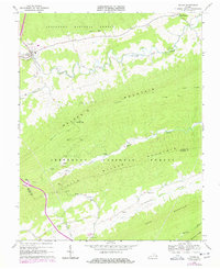
1968 Map of Bland
USGS Topo · Published 1978About this map
Bland serves as the focal point of this 1960s survey, situated along Crab Orchard Creek in a landscape defined by the parallel ridges of Walker Mountain and Little Walker Mountain. The settlement pattern follows the narrow valley floors, where rural life is anchored by numerous local landmarks such as Temple Hill Ch and its associated Temple Hill Cem. The industrial history of the area is represented by Helveys Mill and a Quarry located near the boundary of the Jefferson National Forest. For those tracing local heritage, the map identifies specific family-named sites like Crockett Cem and Crockett Cove. High along the ridge-tops, the Appalachian Trail winds through Turkey Gap, marking the transition between the developed valley settlements and the timbered heights of the national forest.
Find a feature on this map
30 named features on this map. Tap any name to fly to it.
Don’t see what you’re looking for? This feature index may not catch every label — zoom into the map to look around manually.
Map Details
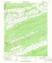
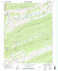
Editions of this 1968 Bland Map
Other maps of this area

1887 · Pocahontas
USGS Topo · 1:125,000

1889 · Hillsville
USGS Topo · 1:125,000

1889 · Wytheville
USGS Topo · 1:125,000

1890 · Dublin
USGS Topo · 1:125,000

1891 · Pocahontas
USGS Topo · 1:125,000

1891 · Dublin
USGS Topo · 1:125,000

1892 · Hillsville
USGS Topo · 1:125,000

1892 · Wytheville
USGS Topo · 1:125,000

1894 · Pocahontas
USGS Topo · 1:125,000

1895 · Pocahontas
USGS Topo · 1:125,000