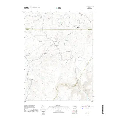
2019 Map of Blandburg
USGS Topo · Published 2019About this map
The boundary between Clearfield, Cambria, and Blair Counties defines this central Pennsylvania landscape, where small settlements are linked by a dense network of mountain runs. Blandburg and Glasgow anchor the central hills, while smaller localities like Hollentown and Frugality sit tucked along the drainages of Fallentimber Run and Clearfield Creek. For genealogists, the map is particularly detailed regarding burial sites, noting locations from the Utahville Cem in the north to the Pleasant Hill United Methodist Church Cem and Roseland Church Cem. The topography is shaped by numerous waterways including Muddy Run and Bells Gap Run, with the Sandy Run Reservoir serving as a significant hydrologic feature in the western portion of the quadrangle.
Find a feature on this map
65 named features on this map. Tap any name to fly to it.
Don’t see what you’re looking for? This feature index may not catch every label — zoom into the map to look around manually.
Map Details
Editions of this 2019 Blandburg Map
This is the sole edition of this map. No revisions or reprints were ever made.
Other maps of this area

1902 · Patton
USGS Topo · 1:62,500

1903 · Curwensville
USGS Topo · 1:62,500

1903 · Houtzdale
USGS Topo · 1:62,500

1904 · Patton
USGS Topo · 1:62,500

1905 · Houtzdale
USGS Topo · 1:62,500

1920 · Altoona
USGS Topo · 1:62,500

1922 · Altoona
USGS Topo · 1:62,500

1939 · Curwensville
USGS Topo · 1:62,500

1942 · Curwensville
USGS Topo · 1:62,500

1943 · Punxsutawney
USGS Topo · 1:125,000
Featured Places
- Beccaria Township, PA
- Dean Township, PA
- Clearfield Township, PA
- Bear Loop, Reade Township
- Blandburg, Reade Township