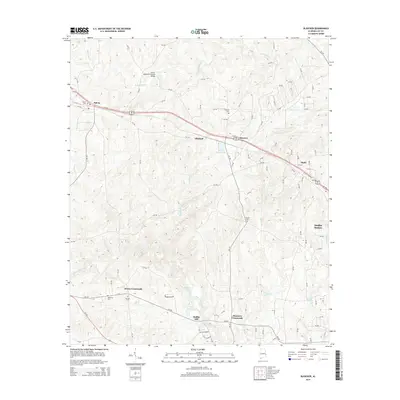
2014 Map of Bleecker
USGS Topo · Published 2014About this map
Moffits Mill sits along the southern edge of this landscape, marking a site of historic industry near the winding waters of Little Uchee Creek. The area is characterized by a network of small settlements and rural junctions that reflect generations of habitation in eastern Alabama. To the north, the Salem-Shotwell-Covered Bridge spans Wacoochee Cr, serving as a significant landmark near the community of Salem.
Find a feature on this map
96 named features on this map. Tap any name to fly to it.
Don’t see what you’re looking for? This feature index may not catch every label — zoom into the map to look around manually.
Map Details
Editions of this 2014 Bleecker Map
This is the sole edition of this map. No revisions or reprints were ever made.
Other maps of this area

1907 · Opelika
USGS Topo · 1:125,000

1909 · Opelika
USGS Topo · 1:125,000

1914 · Seale
USGS Topo · 1:62,500

1950 · Crawford
USGS Topo · 1:24,000

1950 · Phenix City
USGS Topo · 1:24,000

1950 · Seale
USGS Topo · 1:62,500

1955 · Phenix City
USGS Topo · 1:24,000

1955 · Crawford
USGS Topo · 1:24,000

1955 · Seale
USGS Topo · 1:62,500

1955 · Phenix City
USGS Topo · 1:250,000