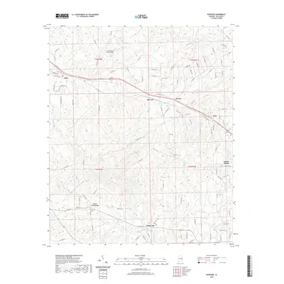
2020 Map of Bleecker
USGS Topo · Published 2020About this map
The Salem-Shotwell Covered Bridge spans the northern reaches of this Lee County landscape, marking a historic crossing point near the settlement of Salem. This 2020 survey of the Bleecker quadrangle illustrates a rural network of small communities and family-named landmarks, including Prince Crossroads and Moffits Mill. The terrain is defined by the winding paths of Little Uchee Creek and Wacoochee Cr, which create a complex drainage pattern across the township. For genealogists, the map identifies several local burial grounds such as Salem Cem, Concord Cem, and Antioch Cem. These features, alongside newer developments near Smiths Station, reveal the long-standing settlement patterns that have persisted from the nineteenth century into the modern era.
Find a feature on this map
108 named features on this map. Tap any name to fly to it.
Don’t see what you’re looking for? This feature index may not catch every label — zoom into the map to look around manually.
Map Details
Editions of this 2020 Bleecker Map
This is the sole edition of this map. No revisions or reprints were ever made.
Other maps of this area

1907 · Opelika
USGS Topo · 1:125,000

1909 · Opelika
USGS Topo · 1:125,000

1914 · Seale
USGS Topo · 1:62,500

1950 · Crawford
USGS Topo · 1:24,000

1950 · Phenix City
USGS Topo · 1:24,000

1950 · Seale
USGS Topo · 1:62,500

1955 · Phenix City
USGS Topo · 1:24,000

1955 · Crawford
USGS Topo · 1:24,000

1955 · Seale
USGS Topo · 1:62,500

1955 · Phenix City
USGS Topo · 1:250,000