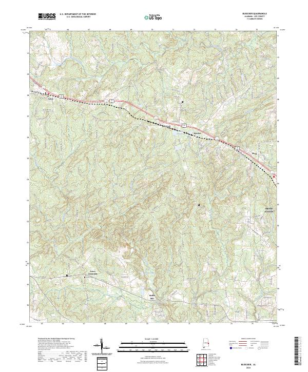
2024 Map of Bleecker
USGS Topo · Published 2024About this map
Salem and the outlying communities of Shotwell and Bleecker define the settlement pattern of this Lee County landscape. The area is characterized by numerous small crossroads and historical landmarks, such as Moffits Mill near the southern boundary and the prominent Great Falls on Little Uchee Creek. A network of family-named and local burial sites, including Salem Cem, Concord Cem, Stroud Cem, and Meadows Cem, offers significant evidence of the region’s ancestral foundations.
Find a feature on this map
105 named features on this map. Tap any name to fly to it.
Don’t see what you’re looking for? This feature index may not catch every label — zoom into the map to look around manually.
Map Details
Editions of this 2024 Bleecker Map
This is the sole edition of this map. No revisions or reprints were ever made.
Other maps of this area

1907 · Opelika
USGS Topo · 1:125,000

1909 · Opelika
USGS Topo · 1:125,000

1914 · Seale
USGS Topo · 1:62,500

1950 · Crawford
USGS Topo · 1:24,000

1950 · Phenix City
USGS Topo · 1:24,000

1950 · Seale
USGS Topo · 1:62,500

1955 · Phenix City
USGS Topo · 1:24,000

1955 · Crawford
USGS Topo · 1:24,000

1955 · Seale
USGS Topo · 1:62,500

1955 · Phenix City
USGS Topo · 1:250,000