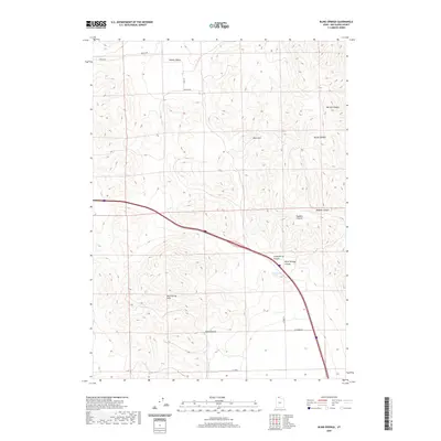
2020 Map of Blind Springs
USGS Topo · Published 2020About this map
Blue Spring Hills and the West Hills dominate this section of Box Elder County, where high-desert canyons and drainage patterns define the landscape. This 2020 survey illustrates a sparsely populated region primarily characterized by its topographical relief and a network of county roads like 20000 N Rd and 12600 W. The northern portion is anchored by Whites Valley, while a series of distinct corridors including Marlow Canyon, Butler Canyon, and Magpie Canyon cut through the eastern ridges.
Find a feature on this map
18 named features on this map. Tap any name to fly to it.
Don’t see what you’re looking for? This feature index may not catch every label — zoom into the map to look around manually.
Map Details
Editions of this 2020 Blind Springs Map
This is the sole edition of this map. No revisions or reprints were ever made.
Other maps of this area

1954 · Brigham City
USGS Topo · 1:250,000

1958 · Brigham City
USGS Topo · 1:250,000

1961 · Thatcher Mountain
USGS Topo · 1:62,500

1961 · Tremonton
USGS Topo · 1:24,000

1962 · Brigham City
USGS Topo · 1:250,000
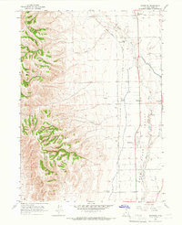
1964 · Riverside
USGS Topo · 1:24,000
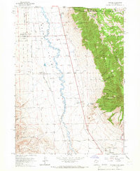
1964 · Portage
USGS Topo · 1:24,000
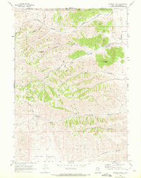
1968 · Limekiln Knoll
USGS Topo · 1:24,000

1968 · Howell
USGS Topo · 1:24,000

1968 · Ridgedale Pass
USGS Topo · 1:24,000