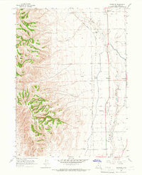
1964 Map of Riverside
USGS Topo · Published 1966About this map
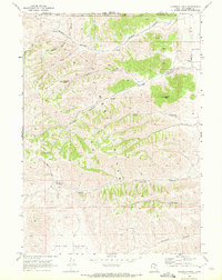
The agricultural landscape of West Valley in Box Elder County is defined by its complex irrigation network and the dual river systems of the Bear River and Malad River. In the mid-1960s, the rural community of Riverside sat at the heart of this fertile region, supported by a system of man-made waterways including the West Canal and the Corinne Canal. The Union Pacific railroad tracks bisect the valley, providing essential transport via Fielding Siding for the surrounding farming towns of Fielding and Plymouth. This topography illustrates how 20th-century water management transformed the arid Great Basin floor into a productive agricultural corridor. Notable local landmarks for genealogists include the Belmont Church and Garland Cemetery, alongside several smaller rural landmarks and gravel operations that sustained the local economy.
Find a feature on this map
24 named features on this map. Tap any name to fly to it.
Don’t see what you’re looking for? This feature index may not catch every label — zoom into the map to look around manually.
Map Details
Editions of this 1964 Riverside Map
This is the sole edition of this map. No revisions or reprints were ever made.
Other maps of this area

1954 · Brigham City
USGS Topo · 1:250,000

1958 · Brigham City
USGS Topo · 1:250,000

1961 · Thatcher Mountain
USGS Topo · 1:62,500

1961 · Honeyville
USGS Topo · 1:24,000

1961 · Tremonton
USGS Topo · 1:24,000

1962 · Brigham City
USGS Topo · 1:250,000
1964 · Clarkston
USGS Topo · 1:24,000
1964 · Portage
USGS Topo · 1:24,000
1964 · Cutler Dam
USGS Topo · 1:24,000
1968 · Limekiln Knoll
USGS Topo · 1:24,000