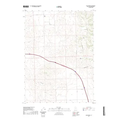
2023 Map of Blind Springs
USGS Topo · Published 2023About this map
Blue Spring Hills and the West Hills dominate this high-desert landscape in Box Elder County, where the topography is defined by a series of steep drainages and canyons. The map centers on the namesake Blind Springs and the winding Blind Springs Canyon, a vital water source in this arid environment. Significant landforms include Whites Valley to the north and a succession of rugged corridors such as Toponce Canyon, Moppie Canyon, and Chokecherry Canyon. Interstate 84 cuts a modern path through these traditional grazing lands, intersecting with rural routes like N 10800 W and W 14400 N St. The survey illustrates the stark transition between the flat valley floors and the complex ridge systems of the Marlow Canyon area, preserving the spatial relationship of these named landmarks in the twenty-first century.
Find a feature on this map
16 named features on this map. Tap any name to fly to it.
Don’t see what you’re looking for? This feature index may not catch every label — zoom into the map to look around manually.
Map Details
Editions of this 2023 Blind Springs Map
This is the sole edition of this map. No revisions or reprints were ever made.
Other maps of this area

1954 · Brigham City
USGS Topo · 1:250,000

1958 · Brigham City
USGS Topo · 1:250,000

1961 · Thatcher Mountain
USGS Topo · 1:62,500

1961 · Tremonton
USGS Topo · 1:24,000

1962 · Brigham City
USGS Topo · 1:250,000
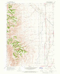
1964 · Riverside
USGS Topo · 1:24,000
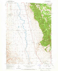
1964 · Portage
USGS Topo · 1:24,000
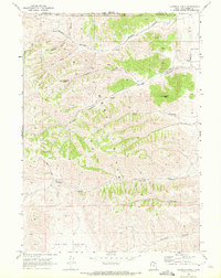
1968 · Limekiln Knoll
USGS Topo · 1:24,000

1968 · Howell
USGS Topo · 1:24,000

1968 · Ridgedale Pass
USGS Topo · 1:24,000