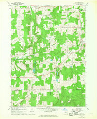
1966 Map of Bliss
USGS Topo · Published 1968About this map
Cattaraugus Creek and its many tributaries, including Spring Brook and Wiscoy Creek, define the rolling dairy country and woodlots of this Wyoming County landscape. In the mid-1960s, the rural character of the region is centered on established hamlets like Bliss, East Arcade, and Eagle. The map illustrates a dense network of family-named roads, such as Stinson Road and Flynn Road, connecting isolated farmsteads and gravel operations. Local history and genealogy are preserved through small landmarks like the Cooley Grave and Eagle Cem, while recreation and conservation are evident in the Good News Camp and the southern reaches of the State Reforestation Area. This topography captures the intersection of three counties—Wyoming, Cattaraugus, and Allegany—showing the high-elevation terrain near Hiram Lake and Dream Lake just before modern development patterns began to shift the rural economy.
Find a feature on this map
61 named features on this map. Tap any name to fly to it.
Don’t see what you’re looking for? This feature index may not catch every label — zoom into the map to look around manually.
Map Details
Editions of this 1966 Bliss Map
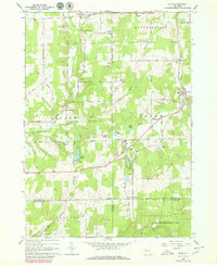
2 editions found
Other maps of this area

1905 · Portage
USGS Topo · 1:62,500

1906 · Angelica
USGS Topo · 1:62,500

1923 · Arcade
USGS Topo · 1:62,500

1924 · Franklinville
USGS Topo · 1:62,500

1925 · Arcade
USGS Topo · 1:62,500

1941 · Angelica
USGS Topo · 1:62,500

1942 · Franklinville
USGS Topo · 1:62,500

1943 · Warsaw
USGS Topo · 1:24,000

1943 · Pike
USGS Topo · 1:24,000

1944 · Pike
USGS Topo · 1:31,680