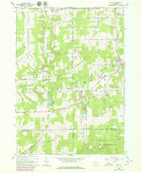
1966 Map of Bliss
USGS Topo · Published 1979About this map
Cattaraugus Creek and Wiscoy Creek carve through this landscape at the intersection of Wyoming, Cattaraugus, and Allegany counties. The village of Bliss serves as a local hub on the eastern edge, while smaller crossroads like Waldos Corners and East Arcade dot the rural interior. The topography is defined by a series of north-south ridges and valley brooks, including Spring Brook and North Branch.
Find a feature on this map
55 named features on this map. Tap any name to fly to it.
Don’t see what you’re looking for? This feature index may not catch every label — zoom into the map to look around manually.
Map Details
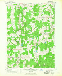
Editions of this 1966 Bliss Map
2 editions found
Other maps of this area

1905 · Portage
USGS Topo · 1:62,500

1906 · Angelica
USGS Topo · 1:62,500

1923 · Arcade
USGS Topo · 1:62,500

1924 · Franklinville
USGS Topo · 1:62,500

1925 · Arcade
USGS Topo · 1:62,500

1941 · Angelica
USGS Topo · 1:62,500

1942 · Franklinville
USGS Topo · 1:62,500

1943 · Warsaw
USGS Topo · 1:24,000

1943 · Pike
USGS Topo · 1:24,000

1944 · Pike
USGS Topo · 1:31,680