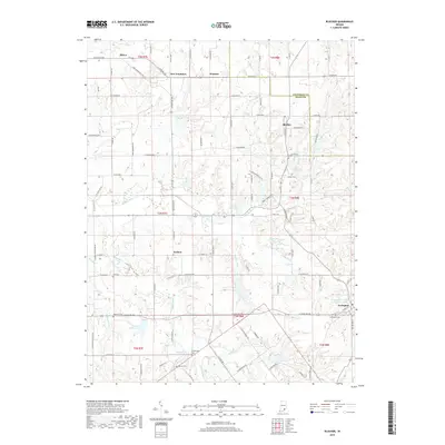
2019 Map of Blocher
USGS Topo · Published 2019About this map
Lexington serves as the primary settlement in this southeastern Indiana landscape, situated near the headwaters of Stucker Fork and Town Cr. The area is characterized by a dense network of small tributaries and creeks, including Kimberlin Cr and Hog Cr, which feed several local water bodies like Thomas J Miller Lake and Lake McCulloch.
Find a feature on this map
97 named features on this map. Tap any name to fly to it.
Don’t see what you’re looking for? This feature index may not catch every label — zoom into the map to look around manually.
Map Details
Editions of this 2019 Blocher Map
This is the sole edition of this map. No revisions or reprints were ever made.
Other maps of this area

1947 · Scottsburg
USGS Topo · 1:24,000

1949 · Henryville
USGS Topo · 1:24,000

1956 · Otisco
USGS Topo · 1:24,000

1956 · Volga
USGS Topo · 1:24,000

1956 · Blocher
USGS Topo · 1:24,000

1956 · Kent
USGS Topo · 1:24,000

1956 · Deputy
USGS Topo · 1:24,000
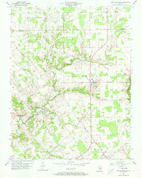
1956 · New Washington
USGS Topo · 1:24,000

1956 · Louisville
USGS Topo · 1:250,000

1959 · Crothersville
USGS Topo · 1:24,000