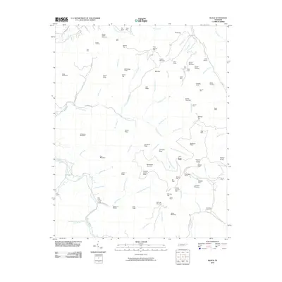
2010 Map of Block
USGS Topo · Published 2010About this map
Hurricane Mountain Mines and Red Ash Mines anchor the eastern slopes of this topography, reflecting the intensive coal extraction industry that has shaped the Cumberland Plateau region for decades. The map details an intricate network of ridgelines and hollows, where naming conventions often follow the geography of labor and family settlement. Names like Stillhouse Hollow and Cross Hollow indicate the secluded residential patterns typical of these mountain corridors, while the presence of the Diamond Number Seven Mine and Pewee Mines underscores the economic foundations of the area.
Find a feature on this map
106 named features on this map. Tap any name to fly to it.
Don’t see what you’re looking for? This feature index may not catch every label — zoom into the map to look around manually.
Map Details
Editions of this 2010 Block Map
This is the sole edition of this map. No revisions or reprints were ever made.
Other maps of this area

1893 · Briceville
USGS Topo · 1:125,000

1895 · Briceville
USGS Topo · 1:125,000

1896 · Briceville
USGS Topo · 1:125,000

1936 · Hogbell Gap
USGS Topo · 1:24,000

1936 · Ivydell
USGS Topo · 1:24,000

1936 · Block
USGS Topo · 1:24,000

1936 · Jacksboro
USGS Topo · 1:24,000

1936 · Pioneer
USGS Topo · 1:24,000

1936 · Duncan Flats
USGS Topo · 1:24,000

1936 · La Follette
USGS Topo · 1:48,000