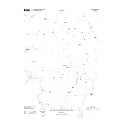
2013 Map of Block
USGS Topo · Published 2013About this map
The New River and its various forks carve through the high ridges of Campbell County, defining the landscape around Smoky Junction and Montgomery. This 2013 survey illustrates a region where deep hollows and steep mountain peaks like Massengale Mountain and Roach Creek Mountain dictate the placement of roads and small settlements. Local history is anchored in several named gaps and ridges, including Jenney Gap and McCoy Ridge, which have likely guided passage through these mountains for generations. The map reveals the intricate drainage system of the area, featuring the N Fork Montgomery Fork and S Fork Montgomery Fork. Genealogists will find value in the specific locations of Nicks Creek Cem and Round Rock Cem, while the inclusion of smaller locales like Brookside, Peewee, and Block helps trace the evolution of rural Tennessee communities at the start of the 2010s.
Find a feature on this map
108 named features on this map. Tap any name to fly to it.
Don’t see what you’re looking for? This feature index may not catch every label — zoom into the map to look around manually.
Map Details
Editions of this 2013 Block Map
This is the sole edition of this map. No revisions or reprints were ever made.
Other maps of this area

1893 · Briceville
USGS Topo · 1:125,000

1895 · Briceville
USGS Topo · 1:125,000

1896 · Briceville
USGS Topo · 1:125,000

1936 · Hogbell Gap
USGS Topo · 1:24,000

1936 · Ivydell
USGS Topo · 1:24,000

1936 · Block
USGS Topo · 1:24,000

1936 · Jacksboro
USGS Topo · 1:24,000

1936 · Pioneer
USGS Topo · 1:24,000

1936 · Duncan Flats
USGS Topo · 1:24,000

1936 · La Follette
USGS Topo · 1:48,000