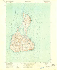
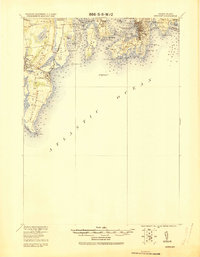
1957 Map of Block Island
USGS Topo · Published 1959About this map
Sachem Pond and the northern reaches of Sandy Point define the coastal character of this island survey, which reflects the mid-century landscape of the town of Block Island. This era shows a balanced maritime environment of infrastructure and isolation, featuring the U S Coast Guard Sta near Great Salt Pond and the central Block Island State Airport. Notable for genealogists and local historians, the map details several burial grounds including Island Cem, Indian Cem, and Sheffield Cem, alongside agricultural landmarks like the Governor Gorton Farm. The road network, including Corn Neck Road and Mohegan Trail, connects the disparate settlements and coastal features such as Clay Head and Old Harbor. The presence of both the Block Island N Lighthouse and Block Island SE Lighthouse underscores the critical importance of this landmass to navigation within Block Island Sound and the Atlantic Ocean.
Find a feature on this map
114 named features on this map. Tap any name to fly to it.
Don’t see what you’re looking for? This feature index may not catch every label — zoom into the map to look around manually.
Map Details
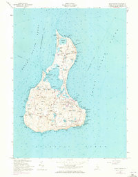
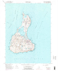
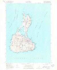
Editions of this 1957 Block Island Map
4 editions found
Other maps of this area

1889 · Charlestown
USGS Topo · 1:62,500

1889 · Newport
USGS Topo · 1:62,500

1889 · Block Island
USGS Topo · 1:62,500

1894 · Block Island
USGS Topo · 1:62,500

1894 · Newport
USGS Topo · 1:62,500

1899 · Block Island
USGS Topo · 1:62,500

1904 · Newport
USGS Topo · 1:62,500

1919 · Charlestown
USGS Topo · 1:62,500
1920 · Newport
USGS Topo · 1:62,500

1921 · Charlestown
USGS Topo · 1:62,500