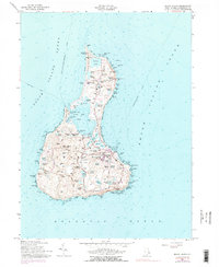
1957 Map of Block Island
USGS Topo · Published 1977About this map
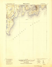
The town of New Shoreham serves as the hub for this island landscape, where the local economy and geography center on the massive Great Salt Pond and the maritime infrastructure of New Harbor and Old Harbor. A dense network of family-named cemeteries, including Island Cem, Sheffield Cem, and Dodge Cem, provides a detailed record of the island's generational residency. The terrain is a complex arrangement of glacial kettle ponds and swamps, from the northern Sachem Pond and Niles Swamp to the southern Great Swamp.
Find a feature on this map
122 named features on this map. Tap any name to fly to it.
Don’t see what you’re looking for? This feature index may not catch every label — zoom into the map to look around manually.
Map Details
Editions of this 1957 Block Island Map
4 editions found
Other maps of this area

1889 · Charlestown
USGS Topo · 1:62,500

1889 · Newport
USGS Topo · 1:62,500

1889 · Block Island
USGS Topo · 1:62,500

1894 · Block Island
USGS Topo · 1:62,500

1894 · Newport
USGS Topo · 1:62,500

1899 · Block Island
USGS Topo · 1:62,500

1904 · Newport
USGS Topo · 1:62,500

1919 · Charlestown
USGS Topo · 1:62,500
1920 · Newport
USGS Topo · 1:62,500

1921 · Charlestown
USGS Topo · 1:62,500