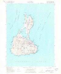
1957 Map of Block Island
USGS Topo · Published 1977About this map
New Shoreham serves as the central hub of this island survey, surrounded by a landscape defined by its many ponds and coastal landmarks. The mapping reflects a post-war era of maritime and aviation transition, showing the State Airport situated in the island's center while the U S Coast Guard Sta monitors the Great Salt Pond. For genealogists, the map is particularly detailed, identifying multiple burial grounds including Island Cem, Dodge Cem, and the Indian Cem, alongside family-named terrain features like Betty Pucky Pond and Rodman Pond. Coastal navigation is anchored by two prominent structures: the Block Island N Lighthouse at Sandy Pt and the Block Island SE Lighthouse perched near the Mohegan Trail. The interior is crisscrossed by established routes such as Center Road and Old Town Road, linking the scattered settlements and high points like Beacon Hill.
Find a feature on this map
110 named features on this map. Tap any name to fly to it.
Don’t see what you’re looking for? This feature index may not catch every label — zoom into the map to look around manually.
Map Details
Editions of this 1957 Block Island Map
4 editions found
Other maps of this area

1889 · Charlestown
USGS Topo · 1:62,500

1889 · Newport
USGS Topo · 1:62,500

1889 · Block Island
USGS Topo · 1:62,500

1894 · Block Island
USGS Topo · 1:62,500

1894 · Newport
USGS Topo · 1:62,500

1899 · Block Island
USGS Topo · 1:62,500

1904 · Newport
USGS Topo · 1:62,500

1919 · Charlestown
USGS Topo · 1:62,500
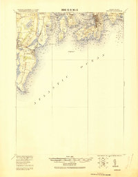
1920 · Newport
USGS Topo · 1:62,500

1921 · Charlestown
USGS Topo · 1:62,500