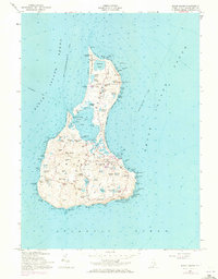
1957 Map of Block Island
USGS Topo · Published 1973About this map
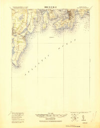
New Shoreham serves as the central hub of this island survey, capturing the coastal character of Washington County before modern development intensified. The landscape is defined by its numerous freshwater and saltwater bodies, from the expansive Great Salt Pond to smaller named features like Sachem Pond and Wash Pond. The interior is marked by significant historical features such as the Indian Cem and Dodge Cem, alongside the Governor Gorton Farm. Maritime safety is anchored by the Block Island N Lighthouse at the northern tip and the Block Island SE Lighthouse perched atop the southern bluffs. This 1957 revision (with 1970 updates) reflects the island's transition toward a travel destination, evidenced by the Block Island State Airport and the network of ferry routes connecting to Point Judith, Newport, and New London.
Find a feature on this map
119 named features on this map. Tap any name to fly to it.
Don’t see what you’re looking for? This feature index may not catch every label — zoom into the map to look around manually.
Map Details
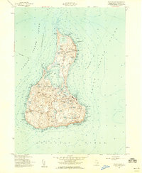
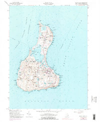
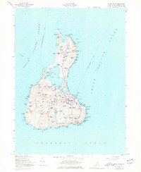
Editions of this 1957 Block Island Map
4 editions found
Other maps of this area

1889 · Charlestown
USGS Topo · 1:62,500

1889 · Newport
USGS Topo · 1:62,500

1889 · Block Island
USGS Topo · 1:62,500

1894 · Block Island
USGS Topo · 1:62,500

1894 · Newport
USGS Topo · 1:62,500

1899 · Block Island
USGS Topo · 1:62,500

1904 · Newport
USGS Topo · 1:62,500

1919 · Charlestown
USGS Topo · 1:62,500
1920 · Newport
USGS Topo · 1:62,500

1921 · Charlestown
USGS Topo · 1:62,500