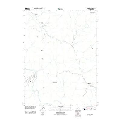
2012 Map of Blocksburg
USGS Topo · Published 2012About this map
The settlement of Blocksburg serves as a local anchor in this portion of Humboldt County, where the landscape is defined by the winding course of the Eel River and its numerous tributaries. The map shows a region characterized by prominent topographic landmarks such as Blue Jacket Butte, Yellow Jacket Butte, and Great Butte, along with several family-named ranching operations that speak to the area's agricultural history. Windbigler Ranch, Round Prairie Ranch, and Payton Ranch are situated among the watersheds of Larabee Cr and Bosworth Cr.
Find a feature on this map
42 named features on this map. Tap any name to fly to it.
Don’t see what you’re looking for? This feature index may not catch every label — zoom into the map to look around manually.
Map Details
Editions of this 2012 Blocksburg Map
This is the sole edition of this map. No revisions or reprints were ever made.
Other maps of this area
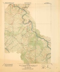
1920 · Harris
USGS Topo · 1:62,500
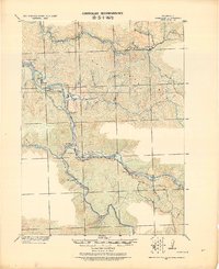
1921 · Dyerville
USGS Topo · 1:62,500
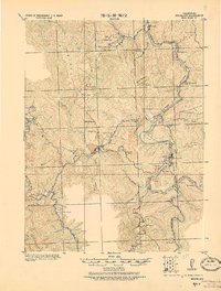
1921 · Briceland
USGS Topo · 1:62,500
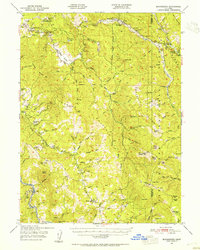
1949 · Blocksburg
USGS Topo · 1:62,500
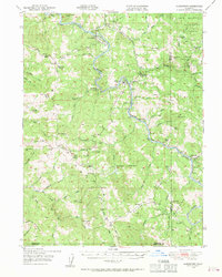
1949 · Alderpoint
USGS Topo · 1:62,500
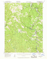
1949 · Garberville
USGS Topo · 1:62,500
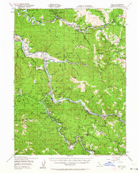
1949 · Weott
USGS Topo · 1:62,500
1951 · Alderpoint
USGS Topo · 1:62,500
1951 · Weott
USGS Topo · 1:62,500
1951 · Garberville
USGS Topo · 1:62,500