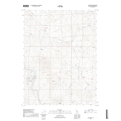
2018 Map of Blocksburg
USGS Topo · Published 2018About this map
Oak Glen sits along the western edge of this Humboldt County terrain, overlooking the winding path of the Eel River. The landscape is defined by its dramatic relief, featuring prominent summits such as Billy Goat Peak, Great Butte, and the distinctively named Blue Jacket Butte and Yellow Jacket Butte. These peaks serve as the headwaters for a dense network of drainages, including Larabee Cr, Martin Cr, and McMullen Cr, which carve through the steep elevations.
Find a feature on this map
78 named features on this map. Tap any name to fly to it.
Don’t see what you’re looking for? This feature index may not catch every label — zoom into the map to look around manually.
Map Details
Editions of this 2018 Blocksburg Map
This is the sole edition of this map. No revisions or reprints were ever made.
Other maps of this area

1920 · Harris
USGS Topo · 1:62,500

1921 · Dyerville
USGS Topo · 1:62,500

1921 · Briceland
USGS Topo · 1:62,500

1949 · Blocksburg
USGS Topo · 1:62,500

1949 · Alderpoint
USGS Topo · 1:62,500

1949 · Garberville
USGS Topo · 1:62,500

1949 · Weott
USGS Topo · 1:62,500

1951 · Alderpoint
USGS Topo · 1:62,500

1951 · Weott
USGS Topo · 1:62,500

1951 · Garberville
USGS Topo · 1:62,500