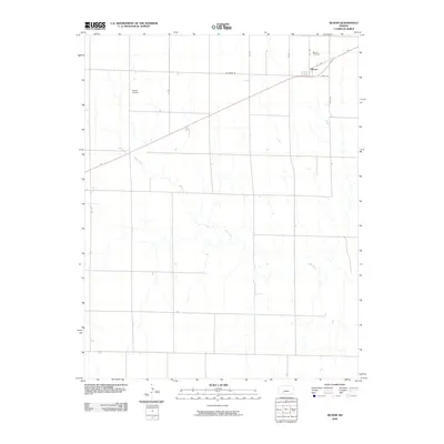
2009 Map of Bloom
USGS Topo · Published 2009About this map
Bloom stands as a focal point of this rural Ford County landscape, organized along a geometric grid of section-line roads typical of the Kansas prairie. The settlement is anchored by local infrastructure and history, including the Bloom Cemetery situated just to the north and the nearby Shelor Airport serving the agricultural community. The terrain is defined by the winding course of Bluff Creek, which meanders through the southern and western portions of the quadrangle, providing a sharp contrast to the straight corridors of W Bloom Rd and Yucca Rd. This 2009 survey captures the area's transition into the twenty-first century, preserving the placement of local thoroughfares like K C H Rd and 117 Spr that connect the isolated farmsteads and fields defining the region.
Find a feature on this map
12 named features on this map. Tap any name to fly to it.
Don’t see what you’re looking for? This feature index may not catch every label — zoom into the map to look around manually.
Map Details
Editions of this 2009 Bloom Map
This is the sole edition of this map. No revisions or reprints were ever made.
Other maps of this area

1892 · Meade
USGS Topo · 1:125,000

1892 · Dodge
USGS Topo · 1:125,000

1892 · Spearville
USGS Topo · 1:125,000

1894 · Spearville
USGS Topo · 1:125,000

1896 · Ashland
USGS Topo · 1:125,000

1955 · Pratt
USGS Topo · 1:250,000

1955 · Dodge City
USGS Topo · 1:250,000

1958 · Dodge City
USGS Topo · 1:250,000

1959 · Pratt
USGS Topo · 1:250,000

1959 · Dodge City
USGS Topo · 1:250,000