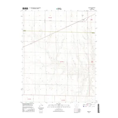
2015 Map of Bloom
USGS Topo · Published 2015About this map
Bloom stands as the primary settlement on this portion of the High Plains, situated at the intersection of several local routes in southwestern Kansas. The community is anchored by the Bloom Cem to the north, while the surrounding landscape is defined by the winding course of Bluff Cr, which cuts through the terrain as it flows toward the Ford County and Clark County line. This 2015 survey illustrates the enduring grid of section roads and rural thoroughfares, including Yucca Rd, W Bloom Rd, and Zane Rd, which facilitate transport across the agricultural landscape. The map provides a clear look at the intersection of Township and Range lines, marking the transition between Township 29 South, Range 24 West and the neighboring districts, reflecting the systematic land organization of the region.
Find a feature on this map
20 named features on this map. Tap any name to fly to it.
Don’t see what you’re looking for? This feature index may not catch every label — zoom into the map to look around manually.
Map Details
Editions of this 2015 Bloom Map
This is the sole edition of this map. No revisions or reprints were ever made.
Other maps of this area

1892 · Meade
USGS Topo · 1:125,000

1892 · Dodge
USGS Topo · 1:125,000

1892 · Spearville
USGS Topo · 1:125,000

1894 · Spearville
USGS Topo · 1:125,000

1896 · Ashland
USGS Topo · 1:125,000

1955 · Pratt
USGS Topo · 1:250,000

1955 · Dodge City
USGS Topo · 1:250,000

1958 · Dodge City
USGS Topo · 1:250,000

1959 · Pratt
USGS Topo · 1:250,000

1959 · Dodge City
USGS Topo · 1:250,000