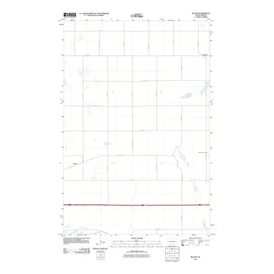
2011 Map of Bloom
USGS Topo · Published 2011About this map
Bloom and Johnson anchor this rural landscape east of Jamestown, where the section-line grid of roads like 90th Ave SE and 34th St SE organizes the open terrain. This 2011 survey illustrates a transition in land use, where agricultural fields meet scattered prairie potholes and larger water bodies like Nine Lake. In the southern portion of the quadrangle, the James River meanders through the flats, providing a distinct contrast to the rigid geometry of the surrounding township roads. For local historians and genealogists, the placement of Spiritwood Cemetery in the eastern section offers a primary reference point for family research in Stutsman County, while the small settlements of Bloom and Johnson represent the rail-influenced development patterns typical of the region.
Find a feature on this map
21 named features on this map. Tap any name to fly to it.
Don’t see what you’re looking for? This feature index may not catch every label — zoom into the map to look around manually.
Map Details
Editions of this 2011 Bloom Map
This is the sole edition of this map. No revisions or reprints were ever made.
Other maps of this area

1896 · Jamestown
USGS Topo · 1:125,000

1897 · Eckelson
USGS Topo · 1:125,000

1900 · Pingree
USGS Topo · 1:125,000

1950 · Fried
USGS Topo · 1:24,000

1951 · Jamestown
USGS Topo · 1:24,000

1951 · Fried
USGS Topo · 1:24,000

1951 · Spiritwood Lake
USGS Topo · 1:24,000

1952 · Homer
USGS Topo · 1:24,000

1952 · Ypsilanti
USGS Topo · 1:24,000

1952 · Bloom
USGS Topo · 1:24,000