2020 Map of Bloom
USGS Topo · Published 2020About this map
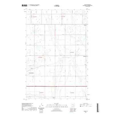
Jamestown and its eastern periphery dominate this landscape in Stutsman County, where the plains are marked by a transition from the agricultural grid to the riparian corridor of the James River. The eastern edge of the city gives way to smaller settlements like Bloom and Spiritwood, the latter of which features the Spiritwood Cem located near the intersection of Co Rd 40 and 93rd Ave SE. The geography is defined by numerous depressions and wetlands, including Rush Island Lake and Nine Lake in the northeastern reaches, while Sevenmile Coulee cuts through the southern section near the river. This modern survey illustrates how long-established township lines and rural roads like Moon Shine Trl continue to organize the North Dakota prairie around the growing regional hub of Jamestown.
Find a feature on this map
31 named features on this map. Tap any name to fly to it.
Don’t see what you’re looking for? This feature index may not catch every label — zoom into the map to look around manually.
Map Details
Editions of this 2020 Bloom Map
This is the sole edition of this map. No revisions or reprints were ever made.
Other maps of this area

1896 · Jamestown
USGS Topo · 1:125,000

1897 · Eckelson
USGS Topo · 1:125,000

1900 · Pingree
USGS Topo · 1:125,000

1950 · Fried
USGS Topo · 1:24,000

1951 · Jamestown
USGS Topo · 1:24,000

1951 · Fried
USGS Topo · 1:24,000

1951 · Spiritwood Lake
USGS Topo · 1:24,000

1952 · Homer
USGS Topo · 1:24,000

1952 · Ypsilanti
USGS Topo · 1:24,000

1952 · Bloom
USGS Topo · 1:24,000