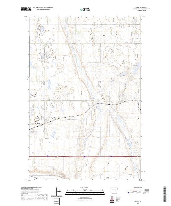
2024 Map of Bloom
USGS Topo · Published 2024About this map
Jamestown and its eastern periphery are documented here in a landscape shaped by both agricultural precision and wetland conservation. The town of Bloom sits at a critical junction of transport and trade, centered on the corridor of 34th St SE and the regional infrastructure of Co Rd 40. Moving east, the small settlement of Spiritwood anchors a section of the county characterized by family-tended lands and local markers such as the Spiritwood Cem.
Find a feature on this map
22 named features on this map. Tap any name to fly to it.
Don’t see what you’re looking for? This feature index may not catch every label — zoom into the map to look around manually.
Map Details
Editions of this 2024 Bloom Map
This is the sole edition of this map. No revisions or reprints were ever made.
Other maps of this area

1896 · Jamestown
USGS Topo · 1:125,000

1897 · Eckelson
USGS Topo · 1:125,000

1900 · Pingree
USGS Topo · 1:125,000

1950 · Fried
USGS Topo · 1:24,000

1951 · Jamestown
USGS Topo · 1:24,000

1951 · Fried
USGS Topo · 1:24,000

1951 · Spiritwood Lake
USGS Topo · 1:24,000

1952 · Homer
USGS Topo · 1:24,000

1952 · Ypsilanti
USGS Topo · 1:24,000

1952 · Bloom
USGS Topo · 1:24,000