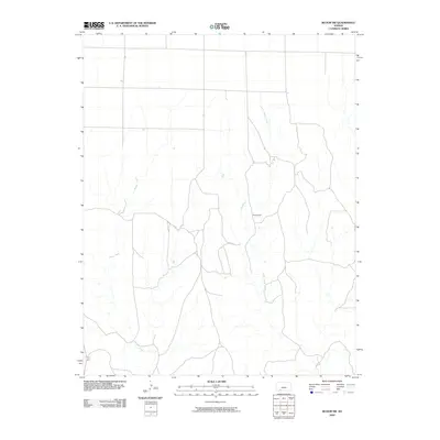
2009 Map of Bloom SW
USGS Topo · Published 2009About this map
Sugarloaf stands as a prominent topographical landmark in this rural section of Clark County, defining the landscape between two primary drainages. The map records the paths of Little Sandy Creek and Keiger Creek as they wind through the territory, illustrating the natural water patterns of the southern Kansas plains. This survey represents the area just before the turn of the decade, showing the network of local roads and unimproved paths that connect the intermittent stream beds and higher ground. While the region remains sparsely developed, the relationship between the drainage of Keiger Creek and the rising elevation of Sugarloaf provides a clear view of the local geography as it existed in the early twenty-first century.
Find a feature on this map
3 named features on this map. Tap any name to fly to it.
Don’t see what you’re looking for? This feature index may not catch every label — zoom into the map to look around manually.
Map Details
Editions of this 2009 Bloom SW Map
This is the sole edition of this map. No revisions or reprints were ever made.
Other maps of this area

1892 · Meade
USGS Topo · 1:125,000

1896 · Ashland
USGS Topo · 1:125,000

1955 · Pratt
USGS Topo · 1:250,000

1955 · Dodge City
USGS Topo · 1:250,000

1958 · Dodge City
USGS Topo · 1:250,000

1959 · Pratt
USGS Topo · 1:250,000

1959 · Dodge City
USGS Topo · 1:250,000

1967 · Bloom
USGS Topo · 1:24,000

1967 · Fowler SE
USGS Topo · 1:24,000

1967 · Minneola
USGS Topo · 1:24,000