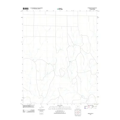
2012 Map of Bloom SW
USGS Topo · Published 2012About this map
Little Sandy Cr and Keiger Cr carve a complex drainage pattern through this section of the High Plains in Clark County. The most prominent topographic landmark on the sheet is Sugarloaf, a distinct elevation that stands out against the surrounding terrain. Unlike more densely settled regions, this area is defined by its wide-open landscape and a network of rural roads that follow the section lines of the Public Land Survey System. This 2012 survey documents the land as it appeared in the early 21st century, illustrating the enduring agricultural and ranching character of the Kansas prairie. The map provides a clear look at the relationship between the natural watercourses and the human-imposed grid, where local roads navigate the contours of the drainage breaks.
Find a feature on this map
3 named features on this map. Tap any name to fly to it.
Don’t see what you’re looking for? This feature index may not catch every label — zoom into the map to look around manually.
Map Details
Editions of this 2012 Bloom SW Map
This is the sole edition of this map. No revisions or reprints were ever made.
Other maps of this area

1892 · Meade
USGS Topo · 1:125,000

1896 · Ashland
USGS Topo · 1:125,000

1955 · Pratt
USGS Topo · 1:250,000

1955 · Dodge City
USGS Topo · 1:250,000

1958 · Dodge City
USGS Topo · 1:250,000

1959 · Pratt
USGS Topo · 1:250,000

1959 · Dodge City
USGS Topo · 1:250,000

1967 · Bloom
USGS Topo · 1:24,000

1967 · Fowler SE
USGS Topo · 1:24,000

1967 · Minneola
USGS Topo · 1:24,000