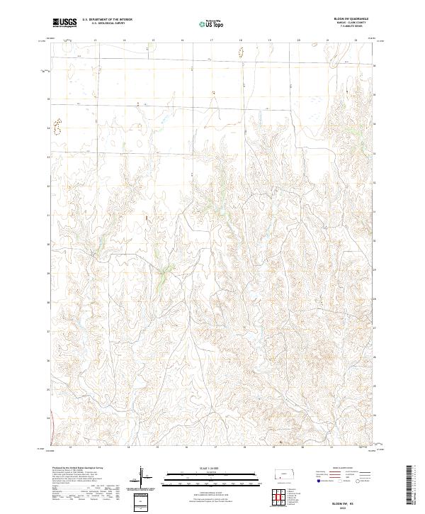
2022 Map of Bloom SW
USGS Topo · Published 2022About this map
Keiger Cr and Little Sandy Cr carve through the sectioned plains of southwestern Kansas, illustrating the drainage patterns of the High Plains. This 2022 survey captures the landscape as a grid of section lines and rural connectors like Co Rd 11 and Cr H, which define the agricultural and ranching boundaries of Clark County. The topography is characterized by the complex erosion of the creek beds against the flat upland divides, a pattern typical of the region's semi-arid environment. Land use here remains predominantly focused on the township and range system, with the map providing precise locations for surveyors and land historians tracking contemporary property divisions and water access in the t31s r25w and t32s r24w townships.
Find a feature on this map
10 named features on this map. Tap any name to fly to it.
Don’t see what you’re looking for? This feature index may not catch every label — zoom into the map to look around manually.
Map Details
Editions of this 2022 Bloom SW Map
This is the sole edition of this map. No revisions or reprints were ever made.
Other maps of this area

1892 · Meade
USGS Topo · 1:125,000

1896 · Ashland
USGS Topo · 1:125,000

1955 · Pratt
USGS Topo · 1:250,000

1955 · Dodge City
USGS Topo · 1:250,000

1958 · Dodge City
USGS Topo · 1:250,000

1959 · Pratt
USGS Topo · 1:250,000

1959 · Dodge City
USGS Topo · 1:250,000

1967 · Bloom
USGS Topo · 1:24,000

1967 · Fowler SE
USGS Topo · 1:24,000

1967 · Minneola
USGS Topo · 1:24,000